Llangennech developed with the growth of coal mining during the late nineteenth and twentieth centuries, with the earliest recorded activities dating back to the seventeenth century. This also led to the development of Tinplate manufacture in the village which continued until the mid-195O's.
The oldest part of Llangennech is the small original settlement at Banc Road which is adjacent to St. Gwynog's Church which is located on a religious site dating back to the fourteen century. Llangennech has also been a centre of Welsh religious non-conformity since the seventeenth century and there are still active Baptist, Independent and Methodist causes in the village. The Bryn Village also has a mining history, and in the late nineteenth century consisted only of a small Hamlet located near the junction of Tabor Terrace and Heol Pendderi. The old cottages in Tabor Terrace still remain, but Tabor Chapel and the original old Royal Oak [PH] have since been demolished.
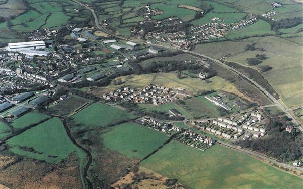
The central area of the village of Llangennech is generally low-lying and on its eastern side is bounded by the Swansea/Llanelli/Shrewsbury main railway line, and the tidal marshes of the coastal plain forming part of the Loughor Estuary.
On its westward side the village becomes more elevated and rises to include a large rural hinterland extending to the administrative boundaries of Llannon and Llanedi. Within this area escarpments fall quite steeply to form the Morlais Valley and this principal river runs generally south eastwards and then meanders through the coastal marshes to discharge into the River loughor. The Bryn Village, in contrast, holds a much more elevated position, away from the coast but also set within a predominantly rural location.

Both villages originally developed along the frontages of the B4297 which was once the main route from Llanelli to the A48 Trunk Road at Pontardulais. This has given the villages a linear form which are almost entirely connected with development. In more recent times large areas of land behind the main road frontages have been developed for housing giving the village a more rounded structure. The provision of the A4188 Bye Pass has reduced the role of the B4297 to a local distributor road, but still offering access to Junction 48 of the M4 Motorway at Hendy, located about 1.4 miles from the centre of the village.
The population of Llangennech and Bryn is 5130 with 6% aged under four, and 48.8% aged between 25-64 years old. Persons 65- 75 years old amount to 22.9% of the population. [Source 2014 Mid- Year Population Estimates] These figures are generally in line with the averages for Carmarthenshire. The population increased by 621 [13.8%] during the period 2001-2014, reflecting the level of new housing development during that period.
There are 2084 households with an average household size of 2.4 persons as compared with 2.3 for Carmarthenshire.
The total number of people able to speak Welsh is 1912 being 39.9% of the population as compared with Welsh speaking for Carmarthenshire at 43.9%. [Source 2011 Census]

Whilst there has been a slight reduction in the number of Welsh speakers in recent years Llangennech is still a village with a strong Welsh culture.
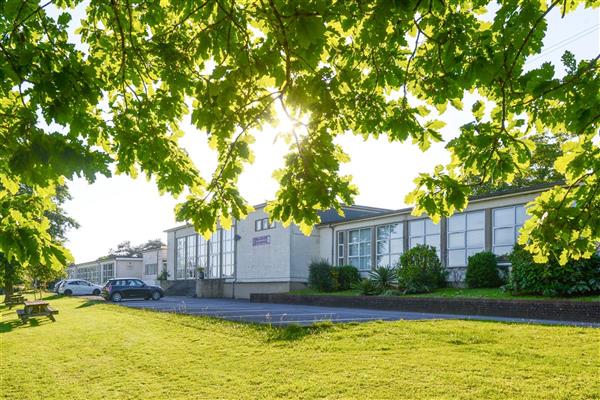
Consequently, and in accordance with National Policy, Llangennech Primary School has recently been designated a "Welsh Medium Primary School" commencing in 2017.
The Bryn Primary School remains an English Primary School thus offering choice within the community.